
Peoria Previous Resident Sources
A sound Peoria address history separates ownership from occupancy. The Maricopa County Assessor identifies the current tax-roll owner, parcel number, situs address, legal description, sales leads, and building facts. A situs address is the parcel's physical tax location. It can differ from the owner's mailing address. Neither field proves that the owner lived in the home. The deed index then documents transfers, while directories and census schedules add named household members who may never appear in land records.
Choose the source by the time period. Recent work normally starts with the current parcel and deed. Mid-century Peoria work gains far more from a directory checkpoint. Older Old Town research may need a map, census schedule, or archive request before a street number can be trusted.
| Address-history source | Documented span | Official keeper | Evidence supplied |
|---|---|---|---|
| Recorded Document Search | Reported 1871 to present | Maricopa County Recorder | Parties, instruments, dates, and legal descriptions |
| Assessor parcel record | Current record plus parcel-dependent history | Maricopa County Assessor | Tax owner, situs, mailing address, APN, sales, and building facts |
| Peoria-area directories | 1949-50, 1954, 1957, 1959, and 1961 | Arizona Memory | Named residents, address, occupation, and household clues |
| Cole criss-cross directory | 1962 | Arizona Memory | Address or telephone number leading to a name |
| Federal census schedules | Decennial schedules through 1950 are public | NARA and research libraries | Enumerated people and household relationships |
| Peoria Sanborn map | June 1927 to May 1931 | Library of Congress catalog | Three-sheet snapshot of building footprint, use, and materials |
| Peoria permits | Online depth not officially stated | Peoria Development Services | Dated projects, work descriptions, and project actors |
Far north Peoria can cross into Yavapai County. Confirm the parcel county in GIS before searching. A Maricopa result cannot document a parcel held by Yavapai offices.
Walk Peoria Deeds Backward
The chain begins with a property identity, not a remembered surname. Open the assessor record and copy the APN, which is the assessor's parcel number, together with the full legal description. Then use the Maricopa County Recorded Document Search. The index offers recorded-document, plat, and survey modes and can expose party names, recording number, date, document type, legal or location data, and an image link where offered.
- Confirm the current Peoria parcel, tax owner, APN, and legal description in the assessor record.
- Find that owner's acquisition deed by searching the owner as grantee. Record its number, date, grantor, and exact land description.
- Search the grantor as a grantee during an earlier date range. Match the land, not just the name.
- Repeat the loop. Search name variants, trustees, trusts, and entities when an instrument changes the party style.
- If an image or index entry fails, call the Recorder at 602-506-3535 or request a copy by recording number.
The assessor sales table is a lead, not the deed. A deed of trust often secures a loan. It is not a sale. A quitclaim can transfer an interest without marking a normal market purchase, while a partial conveyance can alter the parcel itself. Read the instrument and keep a chain table with every unresolved mismatch.
- Grantor and grantee
- The grantor gives an interest; the grantee receives it.
- Chain of title
- The linked sequence of recorded transfers for the same land.
- Legal description
- The lot, block, subdivision, or survey language that identifies land more durably than a street number.
- Criss-cross directory
- A directory arranged by address or telephone number rather than only by surname.
Keep the Peoria Parcel Constant
Street numbers are convenient but weak links over a long span. A renamed road, revised number, subdivision split, or later annexation can break a direct address search. The legal description and recorded plat are stronger. A plat is the filed map that fixes lots, blocks, streets, and easements within a subdivision. It can connect an old lot description to the parcel seen today.
Use cross streets and neighboring owners when exact numbering will not reconcile. The Maricopa County Parcel Viewer fixes the parcel geometry and links to property details, subdivision plats, and tax data. Peoria's older core and its large northern developments belong to different record eras. Old Town can connect with maps and mid-century directories. Vistancia, Blackstone, WestWing, and other northern communities rely more on plats, current parcel records, permits, and annexation layers.
Note: Mark an address match uncertain when the lot, block, parcel, and neighboring properties do not support the same place.
Millions of Peoria Deed Clues
Maricopa County formed in 1871, before Peoria incorporated in 1954. That sequence explains why the county deed trail reaches behind the city's own municipal systems. The Recorder reports more than 52 million searchable documents dating to county organization. Those records include deeds, deeds of trust and releases, liens, plats, easements, and notices. A recorded document gives public notice; it does not prove that each statement inside is true.
An apparent hole is not a known Peoria courthouse-fire gap. No official source identified such a loss. First test spelling, initials, married names, document codes, trust or company names, date windows, and the legal description. Counter staff and original deed books remain the fallback when online indexing cannot carry the chain. Ordinary and certified copies can be requested by recording number, document type, and the desired certification.
Chain control. Keep instrument number, recording date, both parties, land description, image source, and every discrepancy on one running sheet.
Peoria Previous Residents in Directories
Deeds identify owners. Past residents also include nonowner occupants and relatives. Arizona Memory holds the best documented Peoria directory checkpoints: Salisbury's north and west Maricopa volume for 1949-50, the Official Glendale-Peoria Directory for 1954, Mullin-Kille editions from 1957, 1959, and 1961, and a 1962 Cole criss-cross title. Their collection structure and publishers belong on the Peoria city directory page; the address trail uses them as dated occupant checks.
Start in the 1949-50 numerical householders section when the street is known. It orders occupants by street and house number and can show intersecting streets and owner or occupant marks. OCR, or optical character recognition, often misreads columns and abbreviations. Inspect the page image and its key before copying a name. In the alphabetic list, retain spouse notation, occupation, employer, residence mark, and mailing clues. The 1954 volume then offers a second checkpoint, followed by later editions and the address-led 1962 source.
A directory entry proves a listing in that edition, not continuous occupancy. Telephone books also omit unlisted households and nonsubscribers. Compare the name with the deed owner, but never force them to match.
Pair Peoria Residents With Census
The 1950 federal census provides a household-level check beside the 1949-50 directory. Census schedules are public through 1950 under the 72-year release rule. An enumeration district is the small area assigned to a census worker. When name indexing fails, an address or district tool can locate the correct pages.
The pairing follows a short flow:
- Copy the address, names, spouse notation, and nearby households from the directory image.
- Locate the matching 1950 enumeration district and scan the address sequence when name OCR misses.
- Compare household members, ages, relationships, and place details without treating either source as flawless.
- Move to the 1954 and later Peoria directory checkpoints, recording every arrival, departure, and uncertain year.
Directories matter more here because Arizona lacked a continuous state census series like those in some other states. Newspapers, cemetery office records, yearbooks, and vital or probate files can test relationships between the federal census years.
Peoria Previous Residents Map
The Library of Congress catalog identifies a Peoria Sanborn fire-insurance map covering June 1927 through May 1931. It consists of only three sheets, a compact view that fits historic Peoria far better than later northern growth. Sanborn maps can add a building footprint, construction material, use, and nearby landmarks to a past-resident timeline.
There is a catch. The catalog marks this Peoria set unavailable online. A collection described as digitized does not guarantee remote access to every item. Use the catalog record to frame an archive inquiry rather than claiming the sheets can be opened from home. The map also documents structures, not a full household roster, so link its physical clues back to a directory, census page, deed, or tax record.
Note: A three-sheet historic map cannot represent modern north Peoria, where plats, assessor records, and permits are the stronger trail.
Peoria Resident Permit Clues
The Peoria Development Services permit search can tie dated work to an address. Search fields include record number, project name, street-number range, direction, street name and type, parcel number, and date range. Results may identify an applicant or contractor, work description, status, valuation, and milestone dates.
A permit does not prove a move or residence. It dates a project and may help explain when a building expanded, changed use, or was replaced. No official start year for the online permit database was found. If a needed record is absent, use a focused City Clerk request under Arizona Public Records Law, A.R.S. §§39-121 through 39-161, naming the address, department, record type, and date range.
Note: Keep permit dates beside deed and directory dates, but never treat construction work as proof that a household changed.
Close Peoria Resident Trails Carefully
Obituaries and probate files can explain why a household disappears or why an heir, personal representative, or trustee signs a later deed. Search a newspaper by quoted address, surname plus Peoria, spouse, employer, and obituary terms. Verify each family claim against a census, vital record, cemetery office record, or probate file. Maricopa probate files come from the Clerk of the Superior Court, even though probate is excluded from statewide Public Access.
Federal litigation is a different channel. PACER provides federal court record access after account registration, but a PACER result is not a substitute for the county deed, local probate file, or proof that a person occupied a Peoria address.
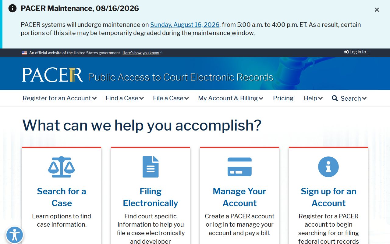
The screen is useful only when the address trail points to an actual federal case. Verify current fees before buying a document, then cite the court file separately from the property and household evidence.
The State Research Library reading room at 1901 W Madison Street in Phoenix, 602-926-3870, can assist when Arizona Memory files will not load or an undigitized title is needed. Arizona Historical Society and Peoria Arizona Historical Society can also receive focused requests about maps, photographs, school material, and family files. Ask for a precise surname, address, and year instead of an open-ended biography.
Lawful use. Research Peoria previous residents for family history, heirs, house history, or personal curiosity. Never use a record trail to stalk, harass, threaten, or expose a protected living person.